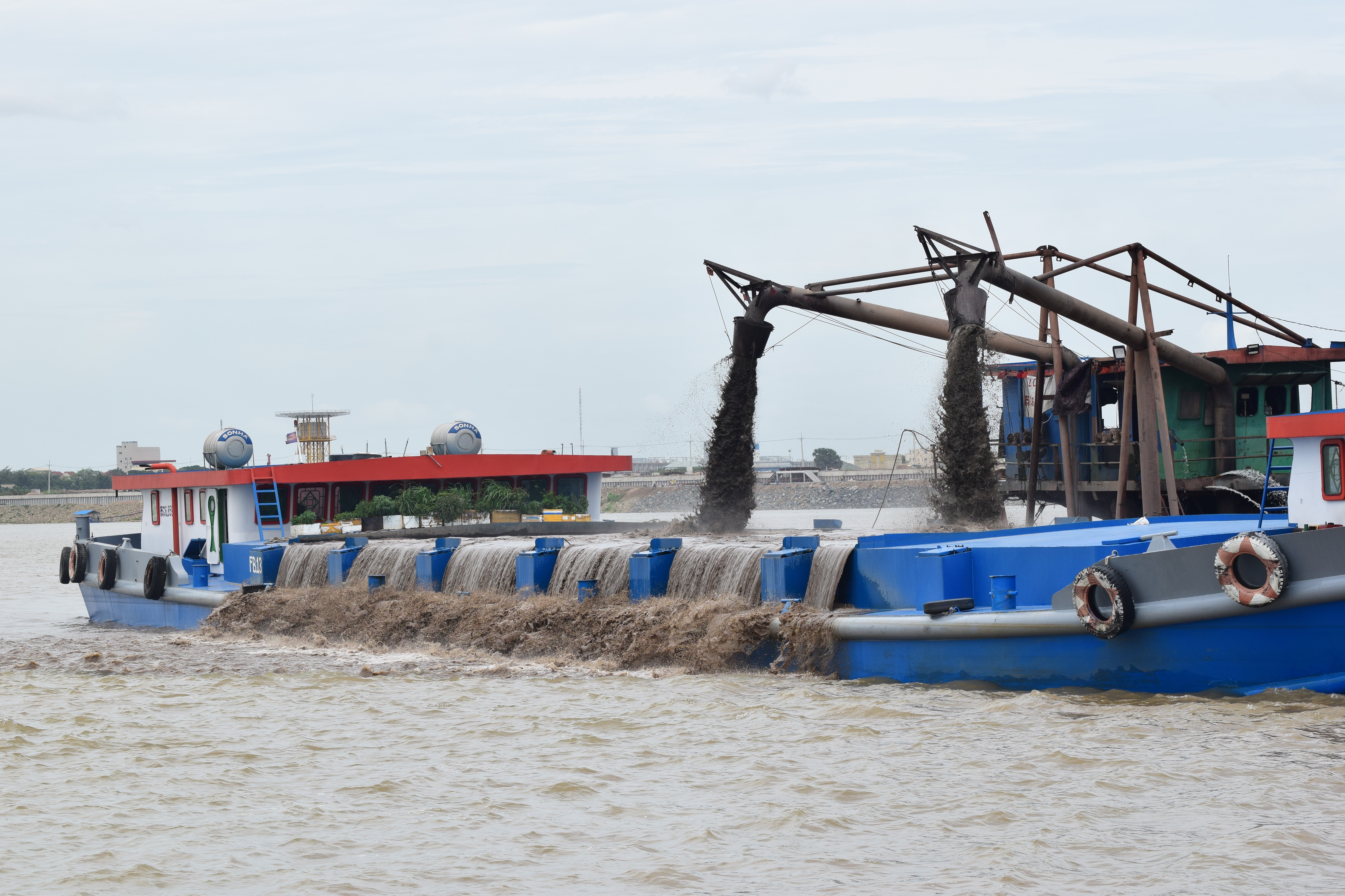
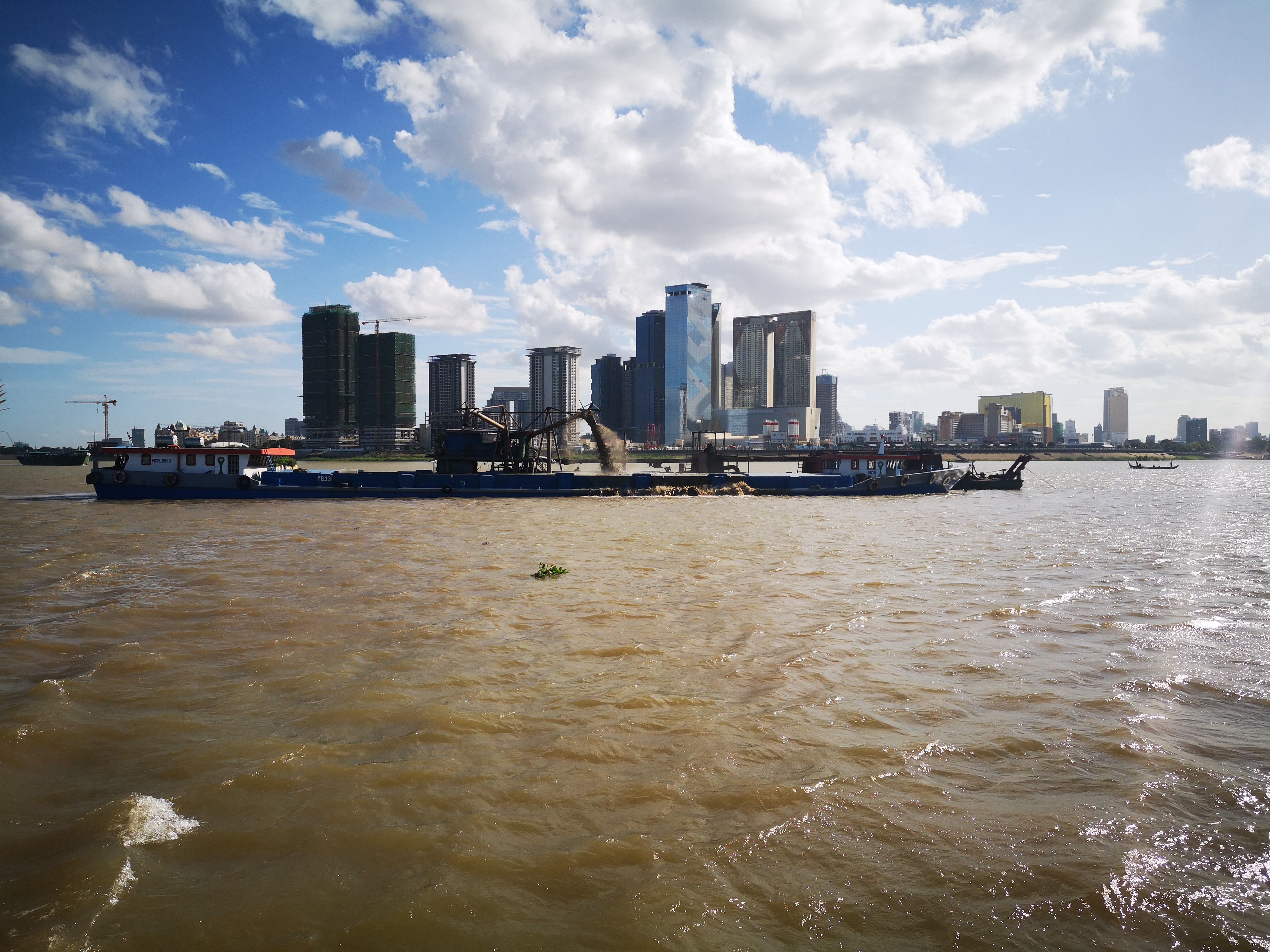
A demand for sand: how does this impact nature and biodiversity?
13 April 2023 | By: Newcastle University | 3 min read
Every day, every person on the planet consumes 18 kg of sand and aggregates. Yet, our insatiable thirst for this material is having major environmental consequences on our planet’s river systems.
Sand is used in pretty much everything from glass, to concrete, to purifying our water and even in our toothpaste, yet the humble grain of sand is very easily overlooked.
Global demand for sand and aggregate has been growing rapidly since the 1970s, to the point where it is now the most extracted resource on our planet (aside from air and water).
Every year we consume more than 50 billion tonnes of it.
The most sought-after sand comes from our rivers, lakes and coastlines. Here, grains moved by water are angular in shape, making them ideal for concrete and construction. Our demand for new land has seen an area the size of Luxembourg (253,000 ha) reclaimed using sand and aggregates along the world’s coastline since 2000.
However, as demand for river sand has increased, so to have the environmental consequences with many freshwater ecosystems being threatened by extractive industries.
The research and the BBC
Research led by Dr Chris Hackney, a NUACT fellow at the School of Geography, Politics and Sociology, is shedding new light on these environmental impacts using innovative technologies.
Now, the work is being featured in the upcoming BBC1 series Our Changing Planet.
Dr Hackney’s research aims to overcome two of the main challenges with understanding the impacts of sand mining. Firstly, the lack of reliable and up to date estimates of the locations and volumes of extraction, and secondly, revealing the impacts of the activity that are often hidden tens of meters below the water, out of sight.
The impact of sand mining in Mekong
Utilising high resolution satellite imagery and underwater sonar, Dr Hackney and his co-authors have revealed the extent of sand mining operations in one of the World’s largest river systems, the Mekong.
In order to effectively and sustainably manage riverine sand resources, accurate and regular monitoring of the locations and rates of sediment extraction are required. Yet sand extraction activity is often spread across many square kilometres of river surface area, and in remote locations that make on-site monitoring difficult.
With new, high resolution satellite imagery, it is now possible to map and track the location of sand mining vessels from space, providing opportunities to better regulate and monitor sand extraction.
By using these satellite images and tracking vessels over a stretch of the Mekong for the period 2016 – 2020, research has shown that the volumes of sand extracted from the river have increased from 24 million tonnes a year to 59 million tonnes. This amount is sixteen times greater than the amount of sand the river is naturally transporting itself, resulting in a negative sand budget and the widespread lowering of river bed levels.

Mehkong. Photo credit: Dr Christopher Hackney
Damage to river beds and biodiversity
This outpacing of natural supply has major implications for the rich biodiversity the river supports. It disturbs and removes breeding grounds for hundreds of fish and invertebrate species which call the river home. It can increase salinity intrusion in the Mekong delta, causing previously freshwater regions to become salt water and it can also increase rates of river bank erosion causing infrastructure and houses to collapse into the river.
Despite having greater clarity on where the extraction is happening on the river from the satellite imagery, it is still difficult to see the physical impacts, given the river bed is 20m below murky water. But, using advanced sonar scanning technology, we are now able to map the river bed at meter resolution, allowing us to see the impacts of sand mining first hand. These maps show that instead of the sand dunes that would be expected on a river this scale, sand mining activity has created large areas of pockmarked river bed with what looks like craters on them. These are the scars of the mining operations and are caused by the suction pipes sucking sand off the river bed. These craters can each be up to 8 m deep and can be up to 70 m in diameter.
By comparing surveys taken in 2022 with similar surveys conducted in 2013, the research has shown that in some places the river bed in now more than 10m lower than it was. Previous research by the team, published in Nature Sustainability in 2020, showed that even a three meter lowering of the river bed would be enough to make much of the river banks along the Mekong unstable and prone to erosion. Therefore the scale of the impacts these new surveys reveal has the potential for significant and substantial impacts on the behaviour of the river system.
The future
The hope is that these new technologies and data can be used to inform better regulation and monitoring of the sand extraction industry in Cambodia and other impacted regions.
The team are engaging with key local partners and stakeholders to highlight how they can best use these techniques and new insights to limit the environmental impact of this industry, and safeguard the rich biodiversity the Mekong and other large river systems support.
Sand is vital to the way humans live and expand. Our whole society is fundamentally built on sand, and so the team recognises that we can’t just cut off this vital development mineral. Instead, we must work out how to utilise this resource in a sustainable, fair, and just way.
Header photo credit: Dr Christopher Hackney
You might also like:
- Find out more about Dr Christopher Hackney, NU Academic Track Fellow (NUAcT)
- Read the teams’ previous research: River bank instability from unsustainable sand mining in the lower Mekong River
- Read the research article: Mapping 21st Century Global Coastal Land Reclamation
- Read the research article: Sand mining far outpaces natural supply in a large alluvial river
